
| Lake Titicaca and the Isla del Sol |
Getting There
|
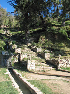 The Inca Steps |
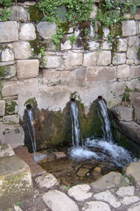 The Inca Fountain - Condor, Puma and Serpent |
|
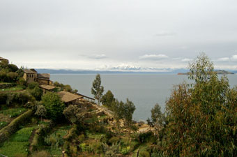 First views from Yumani village |
||
|
 Depiction of the Aymara cosmology |
|
 |
||
Walk around the Isla del Sol Our walk started from the Hostal Imperio del Sol, our accommodation on the island with views across the Isla de la Luna to the snow-capped 6000m plus mountains of the Cordillera Real. This magnificent range, crowned by the 6429m peak of Cerro Jankhouma, was a constant companion on our wanderings up and down the island. |
 The magnificent Cordillera Real - backdrop to Isla del Sol |
|
 |
 |
|
 Wandering up through the streets of Yumani |
We climbed slowly up through the the rough stone paths of Yumani to reach the crest of the ridge at just under 4000m. To the west, we could look down the terraced slopes to tranquil Hacienda Japapa in Bahia Kona, sheltered by the long arm of the Kakayo-Queña Ridge. Beyond the ridge, across the blue waters of Lake Titicaca, lay the Peruvian shoreline. We left the village of Yumani, climbing the rounded hill of Cerro Palla Khasa, at 4065m the highest point on the island and from there were 360º views, before picking our way back down through the terraced slopes, with their crops of beans and potatos interspersed with aromatic shrubs and wildflowers. |
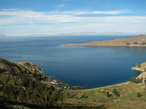 Tranquil waters of Hacienda Japapa on Bahia Kona |
|
|
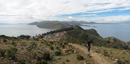 The track out from Yumani - looking back to the northern tip of the mainland |
 Village control point - Challa |
|
||
 Terracing near Bahia Kona |
 The stony path passing a grove of eucalypts |
 Locals heading off to harvest potatos near Bahia Kona |
|
||
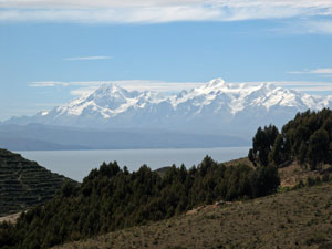 Views across the lake to the 6000m plus Cordillera Real |
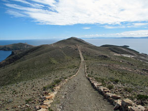 The stone-wall lined track along the spine of the island |
 An isolated ruin on the northern end |
 The maze-like pre-Incan ruins of Chinchana |
|
|
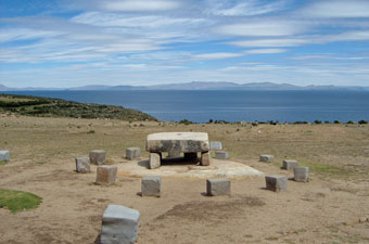 The Mesa de Sacrificio (Incan sacrificial altar) used for animals and the odd princess |
 The Roca Sagrada (sacred rock) which resembles the head of a puma |
|
 Coastal scenery in the north of Isla del Sol  Track through the small settlement of Santiago |
 Turquoise waters of Lake Titicaca in the bay below Chinchana ruins |
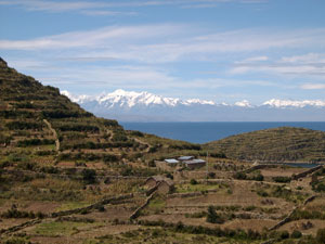 Terraced farmlands at Santiago de Pampa |
From, this site, we followed a well-formed path around to the east, traversing high above the coves of Bahia Sabacera and a white sand beach below the village of Santiago Pampa. Crossing a ridge in the village, the path wound down past small houses and gardens, and the local school. It was 1pm and the children were just leaving for the day; our path down the stony track and across the beach to the village of Cha'llapampa was accompanied by the giggles and chatter of the Bolivian youngsters. Cha'llapampa straddles a sandy isthmus and was the ideal place for a break; we sat for a while, looking across the waters to the snow-capped mountains as fisherman slowly rowed by in their boats, and allowed the tranquility of the site to seep through.
|
||
|
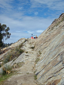 Path across the sandstone slab |
|
 The village of Cha'llapampa on its narrow sandy isthmus |
 Curious patterns in the sandstone |
|
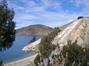 Sandstone headland on Bahia Cha'lla |
 White sand beach at Challa |
|
|
||
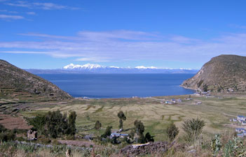 The Cordillera Real framed by Bahia Bukhara |
 The 6400m summit of Illimani, peeking above the horizon |
|
|
Isla del Sol to Copacabana
|
The twenty minute crossing was uneventful and we set off through the village lanes to join up with earth road that headed south. The road led us gently over a rise past houses and fields lining the reed-lined shore of the lake. The calm waters here were protected by a long peninsula of narrow cliffs jutting out toward the Isla del Sol.
|
||
 |
 |
 |
|
|
|||
|
|
|
|
From Titicacha, we commenced the biggest climb of the walk, briefly taking a shortcut through terraced slopes of blue-flowering lupins yellow-flowering herbs and low aromatic shrubs, as we looped away from the coast to wander through a heavily-scented grove of eucalyptus trees. Passing the small Rio Jinchaca, tinkling down from the bare and rocky slopes above, we turned eastward and followed the road through the eucalypts to the site of the Gruta de Lourdes, site of a statue of the virgin with reputedly miraculous powers. |
 Rio Jinchaca flowing down from the dry hills |
|
 Climbing up through the lupin and herb fields |
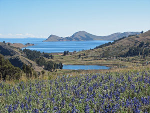 View across the lupins toward th distant Isla del Sol |
|
 Eucalypt grove near the Gruta de Lourdes |
We decided not to go down to the cave, as it did not seem worth the climb back up (it is not so easy to escape miraculous virgins, however, as that night back at our hostal, one came to stay, her statue carried by sailors from the Bolivian navy and accompanied by a military brass band, to be installed with much fanfare in the TV room of the hostal!) |
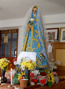 Not the Virgen de la Gruta de Lourdes but the one who came to spend the night at La Cupula |
 Roadside walk toward Chani |
 Looking across the lake towards 375m (or 3840m from sea level) high Cerro Pucara |
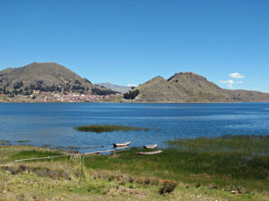
 View over the reed beds of Chani and the dry hills beyond |
Meanwhile back at the walk, we pushed on along the road above the steep drop into the clear green waters of Lake Titicaca. Ahead, a small peninsula dominated by 375m Cerro Pucara jutted out into the lake. giving shelter to the village of Chani, set in its reed lined bay. |
|
 |
 |
||
|
 Walk's end - Copacabana nestled between its two hills |