| Sydney's Great Coastal Walk - North |
Urban Walking |
|
| Day 1 – The Peninsula (17 km - 430m ascent - 430m descent) |
|
|
|
||
 |
 |
 |
||
|
||||
|
||
 |
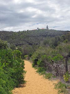
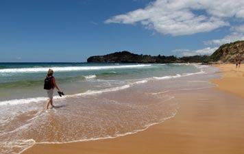
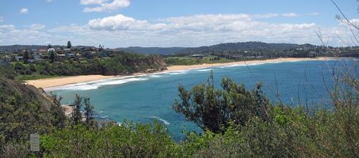
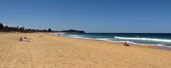
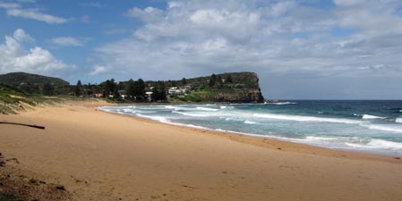
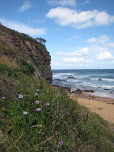
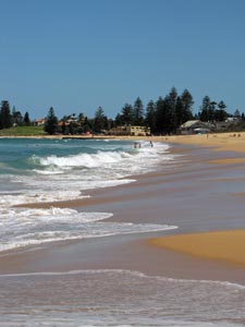
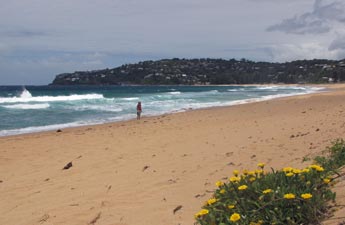 The splendid isolation of Palm Beach (on a week day) |
 |
|
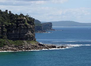
 View from Whale Beach to Careel Head |
|
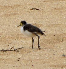 Lapwing chick scurrying across the sand |
|
|
|
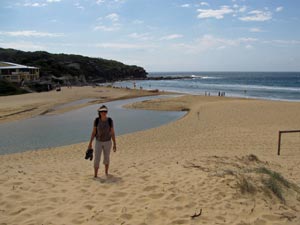
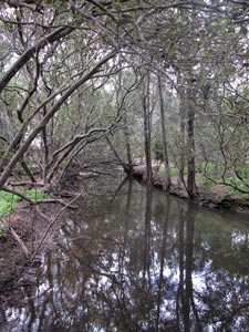 Careel Creek |
|
|||
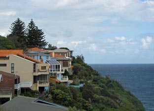 Clifftop houses - Bilgola |
 |
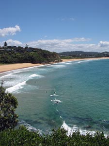
 Avalon Beach |
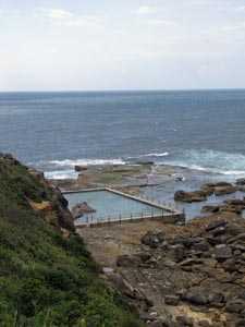
 Avalon Rock Pool |
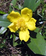
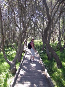
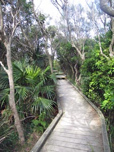 boardwalk through a hanging swamp |
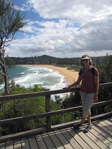 Overlooking Newport Beach |
 Bilgola South Head |
|
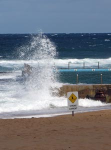
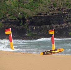 Always swim between the flags |
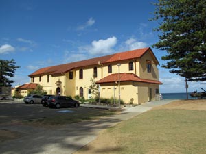 Classic Surf Life Savers' club house |
  |
| Day 2 - (Mid) Northern Beaches (20 km - 270m ascent - 270m descent) |
|
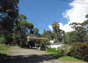 Suburban streetscape - Newport |
|
 |
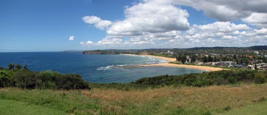
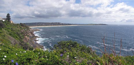
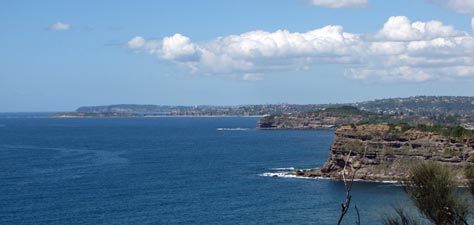 Panorama of northern headlands - from Bungan Head |
 |
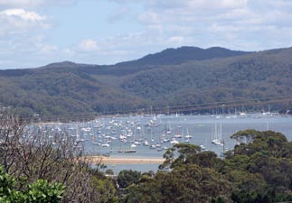 A glimpse over the marina at Pittwater |
We followed the houses around to Mona Vale Headland, remarking on the large numbers of for sale signs – was it just the norm, or were generational change and the global financial climate the drivers of this turnover. Our arrival at Mona Vale Headland stopped all these wonderings, as we took in the 270° views – northward along our track from Palm Beach and southward over the long golden strands of Warriewood, Mona Vale and Basin Beaches. |
 View north from Mona Vale Headland |
|
||
 |
 Panorama from Mona Vale Head over Bongin Bongin and and Mona Vale Beaches |
 |
|
|
|
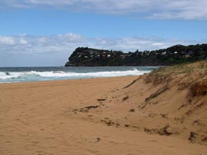
 The isolation of Turimetta Beach |
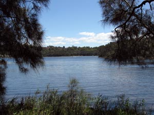
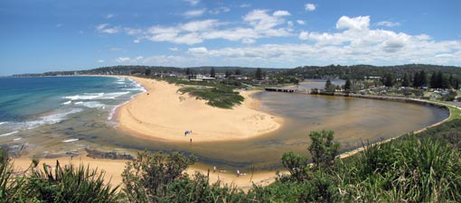 Panorama of the entry to Narrabeen Lakes |
|
||
 A shady spot for lunch |
|
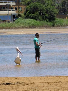 Fisherman and friend - Narrabeen Lakes |
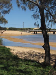
As the lake turned inland, we turned back to the coast, to follow Narrabeen and Collaroy Beaches southward – the much softer sand making for a bit of a trudge in comparison to our walk down Mona Vale Beach just a few kilometres to the north. At its southern end, we passed one of the many ocean rock pools that are so characteristic of Sydney, crossed Fisherman’s Beach and climbed gently up to the heights of Long Reef Point.
|
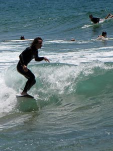
 Surf at Collaroy |
|
|
||
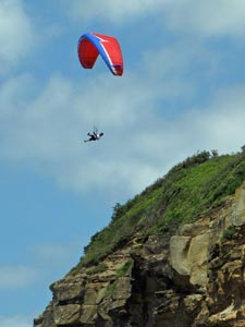
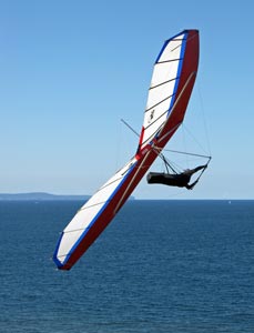 Hang glider at Long Reef Point |
 Tree-lined fringe of Dee Why Lagoon |
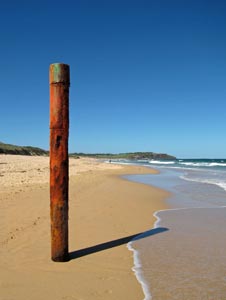 Beauty even lies in a rusted sewage breather pipe |
|
 Welcome .... |
 ... to the ... |
 Dee Why Beach and the crowds start appearing |
 ...northern .... |
 ... beaches |
|
||||
|
||||
| Day 3 – Southwards to North Head (18 km - 310m ascent - 260m descent) |
|
|
|
||
|
 View northwards from Ghania Lookout - North Curl Curl
|
||
 Freshwater Rock Pool |
 |
 On the dunes at Curl Curl Lagoon |
 |
|
|||
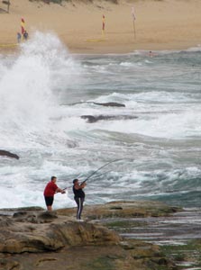 Rock fishing - the most dangerous sport in Sydney |
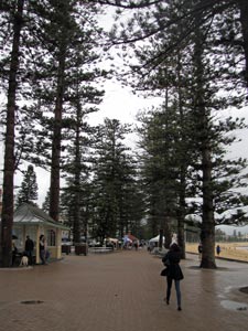
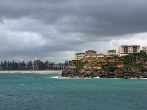 Apartment buildings squatting on Queenscliff
|
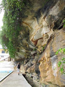 Path beneath Queenscliff - the beauty of Sydney sandstone |
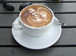
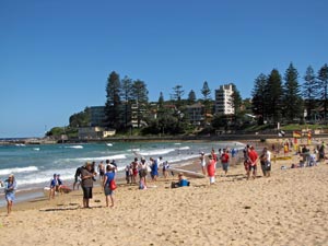
We had walked right into the middle of a Nippers Surf Carnival – the northern end of the beach filled with kids in life-savers caps, their attendant parents and officials in the mandatory broad-rimmed straw hats (even on an increasingly grey and windy day as we were having). We stopped to watch a couple of beach sprints and surf-ski races before wandering on down the beach and joining the Sunday morning latte set for a coffee in one of the many trendy cafés that line the esplanade. |
 After the squall on Manly Esplanade |
|
 Nippers' Surf Carnival at Manly |
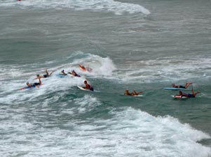 Heading out in the board race |
|
|
|
|
|
 View back over the northern beaches from Shelly Beach Reserve |
|
|
|
|||
 |
 |
 |
 |
|
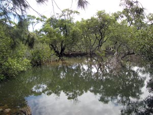
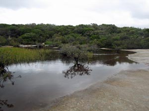 Perched lake on the sandstone plateau of North Head |
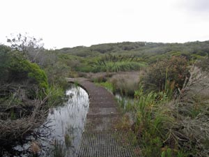 Boardwalk across the wetlands |
|||
|
||||
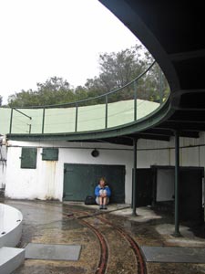 Sheltering in an old gun emplacement
|
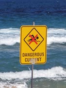
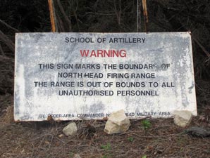 A sign best heeded |
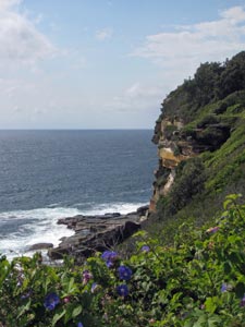
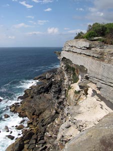
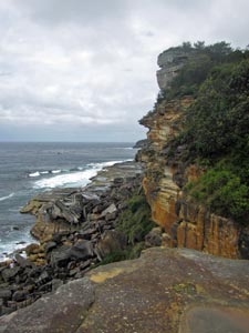
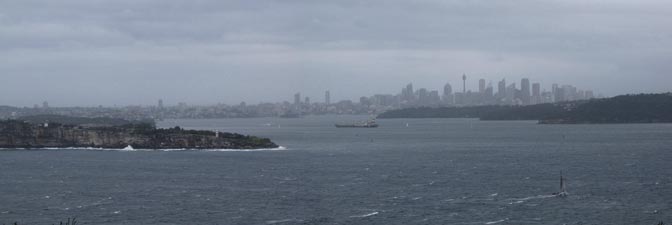
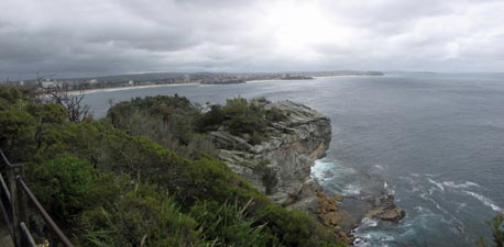
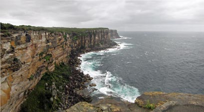 The cliffs of North Head |
The wind was getting stronger and the squalls more frequent, so we quickly pushed on to our primary destination, North Head itself. Here shear walls of multi-coloured sandstone plunge down into the ocean and, on reaching the viewing platforms at the cliff edge, we were almost blown over by the wind - the system had developed into that notorious feature of Sydney weather – a full blown southerly buster. Still, what better place to be in the face of a fierce cold wind than on an isolated exposed headland – it just seems right.
|
||
|
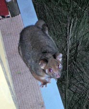 Not a ghost - just a ring-tailed possum |
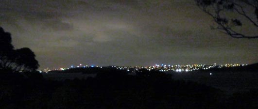 Stormy night at the Old Quarantine Station |
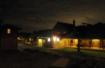 They say that the spirits of those who never left still roam the Old Quarantine Station |
|
|