| The Canberra Centenary Trail (Southern Section) |
Day 5 - O'Connor to Holder (15.5 km - 390m ascent - 440m descent) |
|
|
|||
 |
 |
 |
 |
|
|
|
|
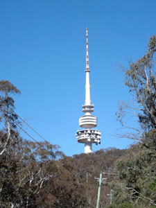
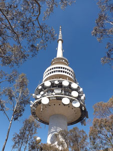
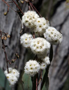
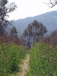
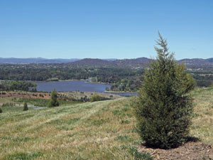
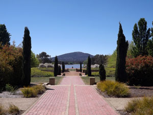
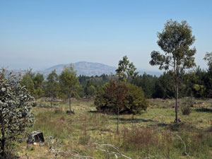
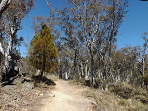 Foot track up Black Mountain |
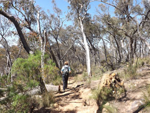 Path across the scrubby woodland of Black Mountain |
|
|
|
|
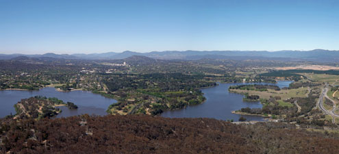
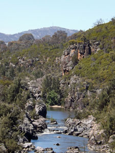
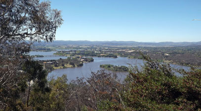
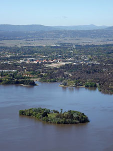 Springbank Island |
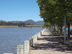
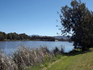
 Yarralumla Bay |
|
|
||
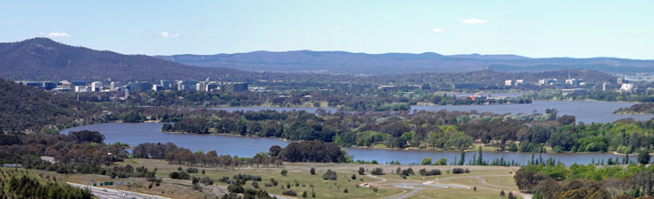
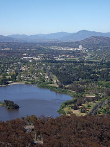
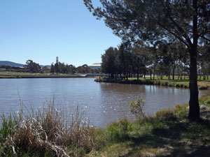
 The central and west basins of the lake |
 |
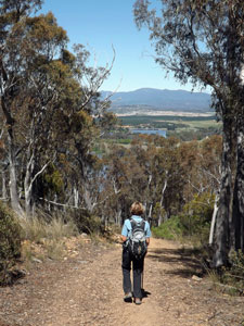
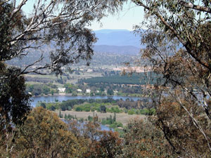 Glimpse of the lake between the trees |
|
||
|
|
|
|
||
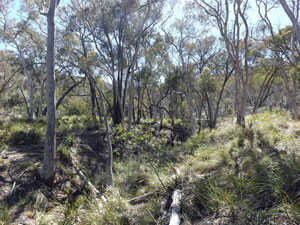
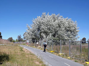
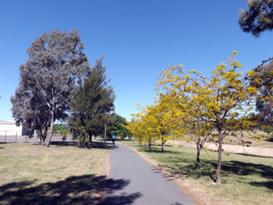
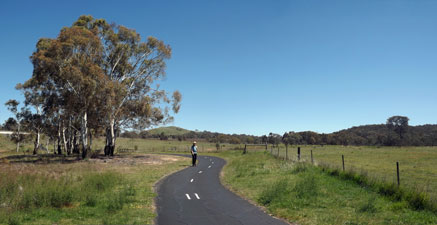 Bike path past the Aranda Bushland |
 |
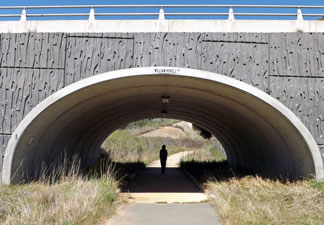 The Hovell Drive underpass |
|
||
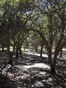 Dappled shade of the cork oak forest |
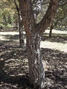 The bark of the cork oak |
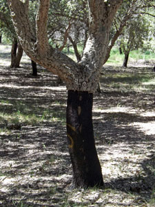 The bark of this cork oak was harvested in 2001 |
|
|
|
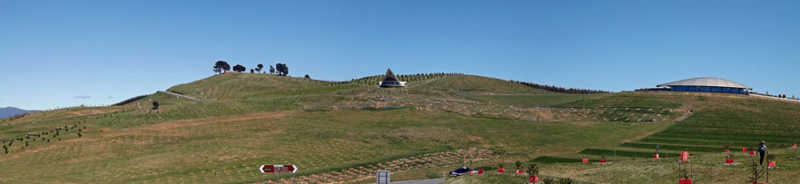
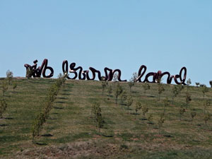
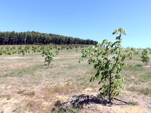 The new horse chestnut forest at the National Arboretum |
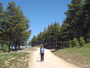 Amongst the Himalayan cedars |
|
|
||
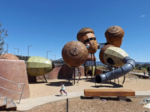 Children's playground at the arboretum |
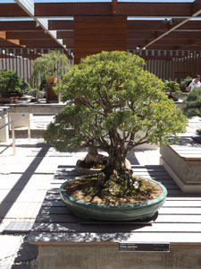 Bonsai |
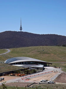
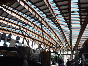 Inside the Visitors' Centre |
|
||
|
|
|
|
||
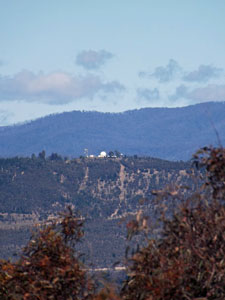
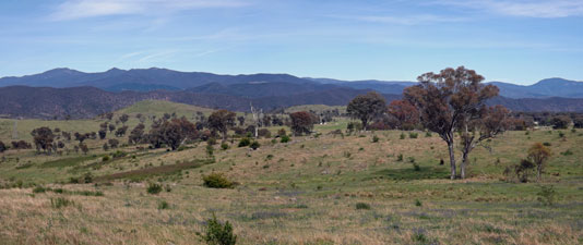
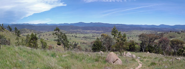
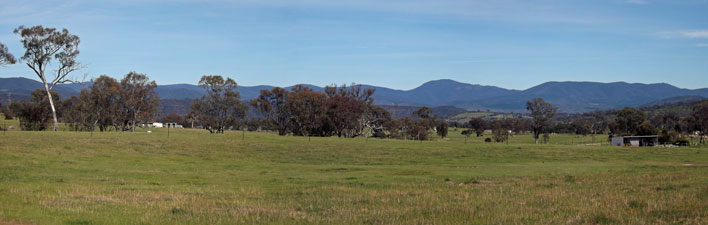
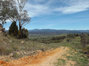
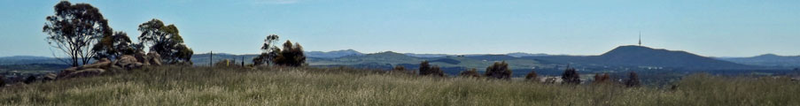
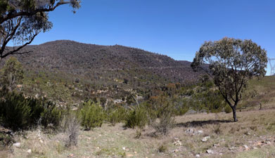
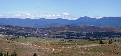 Brindabella Mountains panorama from Dairy Farmers Hill |
 Saharan cypress above the lake |
|
||
 Walking through the radiata pine forest |
|
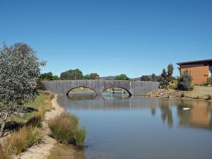
 The Molonglo River at the MVIS bridge |
|
||
 Skirting the perimeter fence for the new Molonglo subdivision |
 Earthworks at Canberra's newest town development |
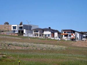 The cuboid architecture of brand new suburbia |
|
  |
Day 6 - Holder to Kambah (11.5 km - 390m ascent - 330m descent) |
|
||
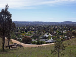
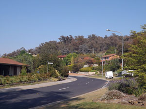
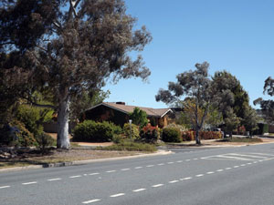 More traditional streetscape in Holder |
 |
 Eucumbene Drive |
|
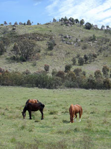
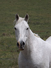
 The green pastures of the Equestrian Centre |
 |
|
|
||
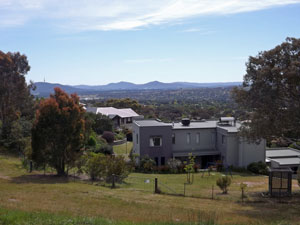 The houses of Chapman from the ridge track |
 |
 On Cooleman Trig |
|
|
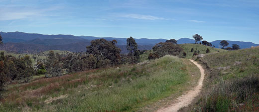 Track heading away from Cooleman Trig |
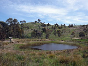 A peaceful dam on the far side |
|
 |
|
|
||
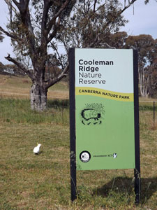
 The track along Cooleman Ridge |
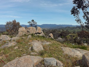
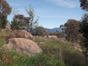 Boulders on the ridge |
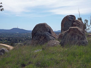 Another Cooleman boulderscape |
|
|
|
 |
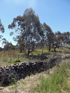
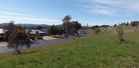
 Lincoln Close, Chapman (the phoenix arises) |
|
|
|
|
|
|
|
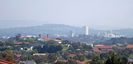
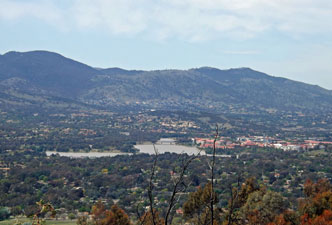 Tuggeranong Lake and town centre from Arawang |
 |
|
|
 |
Day 7 - Kambah to Gowrie (18.5 km - 210m ascent - 220m descent) |
|
||
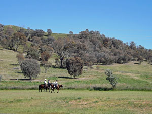 Horse-riders below McQuoid Hill |
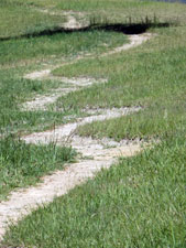 The zig and zag of the new trail |
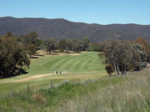 Fore!! Golfers on the fairway of the second hole |
|
||
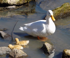
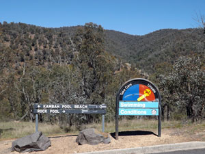 No swimming today! |
 |
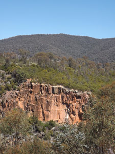
 Looking across to the Bullen Range |
|
||
 |
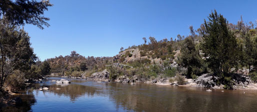
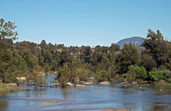
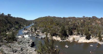
 The Murrumbidgee River wends its way below the Bullen Range |
|
|
|
|
|
|
 View to the east from the new river lookout |
 |
|
|
|
|
||
 |
 |
 |
||
 The upgraded trail crossing the grassland slopes |
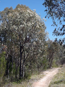
 Track passing beneath a mistletoe |
|
|
 The rooves of Tuggeranong town centre |
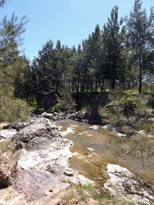
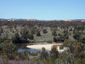
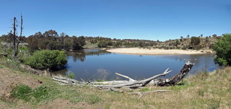 A still and sandy reach of the Murrumbidgee |
|
|
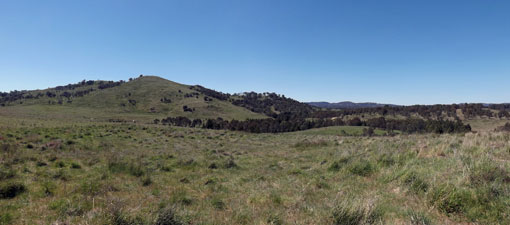 Kangaroo country below the Urambi Hills |
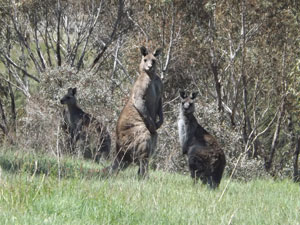 A few of the local mob |
|
|
|
|
|
|
 Gardens in the Tuggeranong town park |
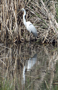
 Lake Tuggeranong foreshore |
|
|
|
|
|
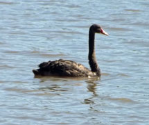
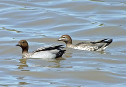
| The waterbirds of Lake Tuggeranong | |||
|
|||
 The upper reach of Lake Tuggeranong |
 |
 Pondage in Monash |
|
||
 Bike path along the suburban greenbelt |
 An inter-suburban wetland |
 Now doesn't that make you feel warm and fuzzy? |
|
 |
Day 8 - Gowrie to the Federation Stone (19.5 km - 530m ascent - 540m descent) |
|
|
|
|
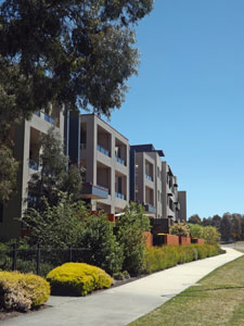
 The urban side of the urban fringe |
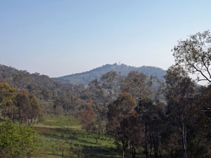 View across to Isaacs Ridge |
|
|
||
|
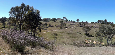
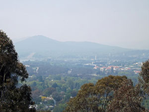
From here, a narrow and at times, faint, footpath climbed up the grassy slopes to reach the tree-covered ridgeline. It was while climbing up that I first noticed the haziness in the sky and it soon became obvious what it was - smoke drifting down from the horrific bushfires in the Blue Mountains, some 200km to the north, was creating a palid pall over the cloudless sky of Canberra.
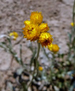
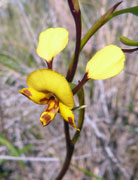
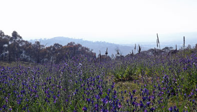
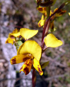
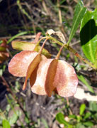
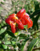
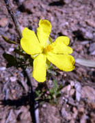
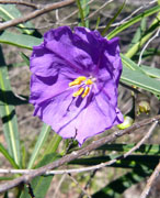
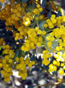
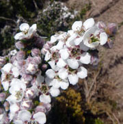
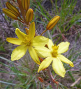
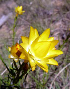
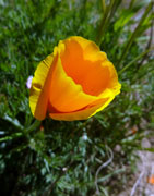
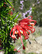
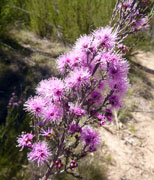
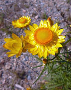
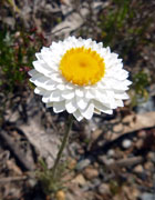
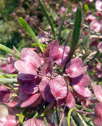
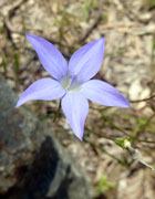
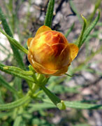
The flora of the ridge, however, provided the distraction needed - yes, the ubiquitous St John's wort was omnipresent and would soon carpet the open hillside in yellow and yes, there were purple patches of Paterson's curse, but these weeds apart, golden everlastings were flowering in abundance and, for the first time on the trail, I spotted the grail of plants, an orchid - a small cluster of donkey orchids to be precise.
|
|
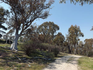
 The road to Mt Wanniassa |
 |
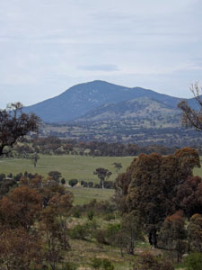
 Wanniassa trig |
|
|
||
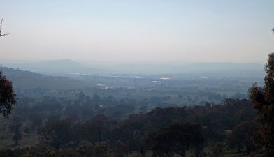
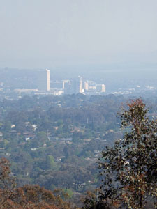
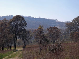
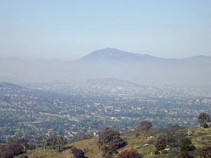 A pall of bushfire smoke over the Tuggeranong Valley |
 |
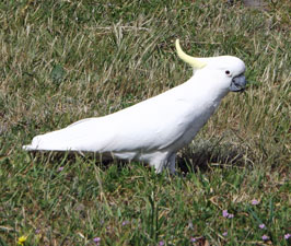
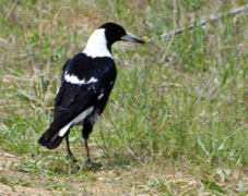
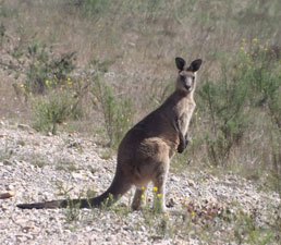 A resident of Wanniassa Hills |
|
|
||
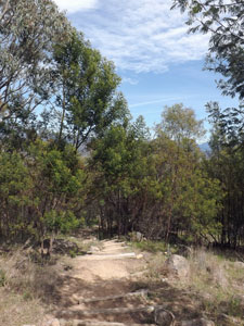
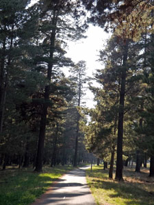
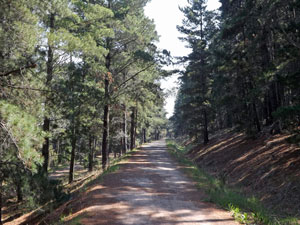
 Climbing up through the Isaacs pines |
|
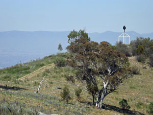
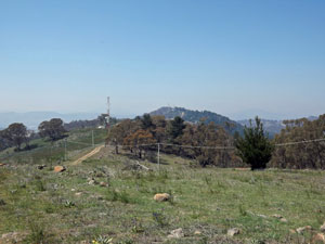
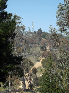 Road down from the communication towers |
|
||
 A wattle grove on the ridge with Mt Taylor in the distace |
 |
 Looking back along Isaacs Ridge |
|
 |
 |
|
|
||
 The house of O'Malley and Woden town centre |
 |
 |
|
They brought me out to a pretty reed-lined pondage just to the north of busy Hindmarsh Drive, a good lunch spot, before pushing on to my objective - the twin storm water pipes beneath this busy road. |
|
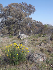
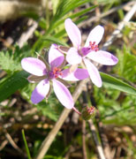
 Wildflowers in the woodland |
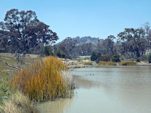 The O'Malley Pondage |
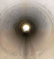 Light at the end of the tunnel |
 Storm drain exit in Garran |
Just 1.5m in diameter and 50m long, the concrete pipe was the ideal way to get to the other side - the fun of childhood adventures relived. From the pipe exit, a track headed up the traffic-noisy bush corridor between the houses of Garran and Hindmarsh Drive (it is a credit to the track design just how little of it is disturbed by traffic noise). However, on reaching the gateway to Red Hill Nature Park, I turned away from the road and tranquility was soon restored. |
|||
 |
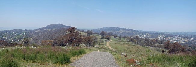 Panorama of Red Hill suburb, Mt Mugga Mugga and Woden form the slopes of Davidson Hill |
|
|
 |
|
|
|
|
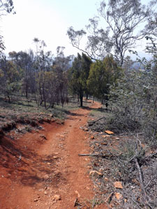
 The red earth road (why Red Hill is so called) |
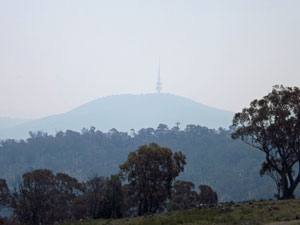
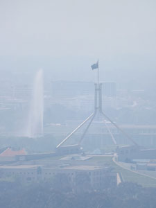
 Mt Ainslie hiding in the smoky mist |
|
|
||
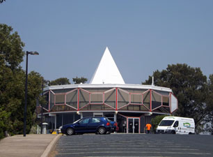 The iconic conic of Red Hill Restaurant |
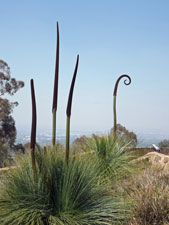 Grass trees at Red Hill Lookout (homage to Mr Curly) |
|
|
|
|
|
  |