| Stage 15 - Nadgee-Howe Wilderness Walk |
|
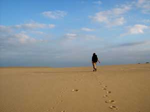
Wonboyn to Little River |
|
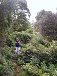
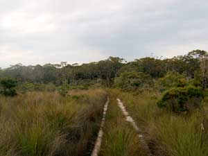
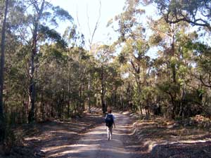 Fire trail to Nadgee |
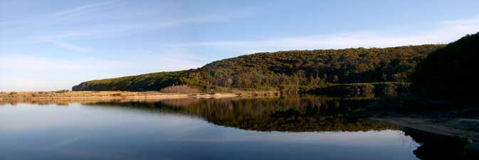
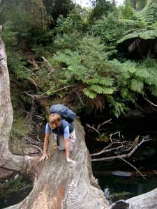
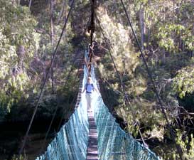 Suspension bridge at the Merrica River |
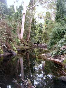
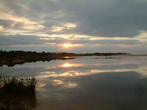
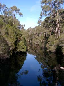 Reflections in the Merrica River |
|
||
|
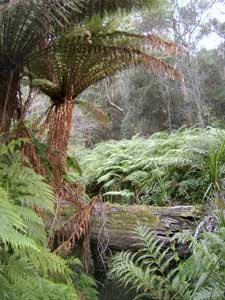
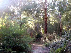 Forest near Wirra Burra Creek |
The road however kept away from Newton's, heading south to cross a small creek. At the creek a walking track led us through the dense understorey, with woody vines and other rainforest vegetation making an appearance, before finally bringing us out at cool, fern-lined Wirra Burra Creek near the southern end of the beach. Either side of the ford were deep clear pools in the creek, so we took the opportunity to top up our water and fill some more bottles for the evening. Just beyond the creek the track opened into a grassy clearing, surrounded by lush dense forest, the camping area at Newton's and a perfect spot for a late lunch and rest. |
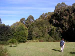 Clearing in the forest behind Newton's Beach |
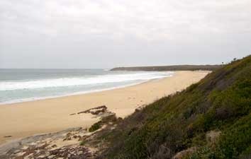
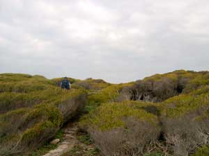
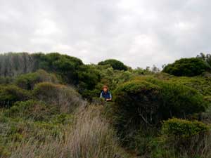
Back on the track again, we climbed up out of the beach flats and continued south through thickets of paperbark. We could hear the waves on the nearby shore below the low cliffs, but rarely saw the sea. If there were one word to describe this whole first part of the walk, it would be "enclosed", as most of it was spent beneath a canopy of trees or tall shrubs. Even where the canopy opened as we passed through a head-high mixed heath of banksias, acacias, hakeas, tea-trees and casuarinas, the plants intruded from the sides across the narrow track.
It became a guessing game as to which shrub would next spread out across our path; would we smell the lemon scent of the tea-tree leaves as we brushed them aside - very nice, or the caress of soft casuarina needles - not bad at all, or the 2 cm long spines on the end of a stiff woody hakea branch - very, very bad! |
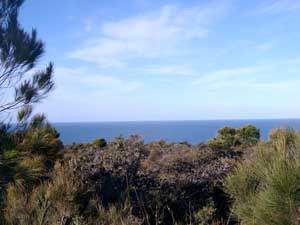 A glimpse of the ocean over the heath |
 Passing through a hakea thicket |
|
|
|
|
 |
Little River to Lake Wau Wauka
|
 Creek bed vegetation |
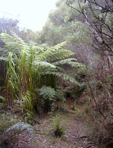
 Lush fern-filled river flats |
 Nadgee River |
 Crossing Nadgee river |
|
|
|
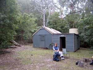 At Harry's Hut |
 Grassy clearing in the forest |
|
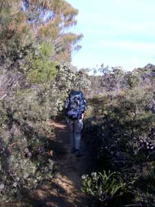
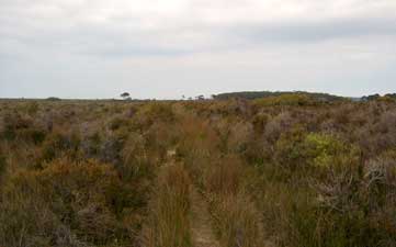 Heading south across the heath of Nadgee Moor |
   |
   |
|
 Back to the sea again |
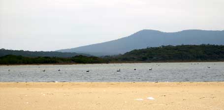 Black swans on Nadgee Lake |
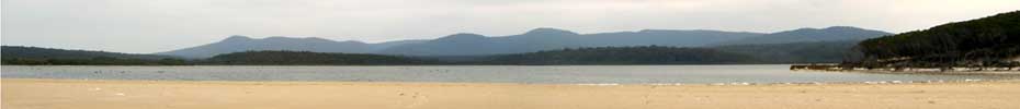
 Nadgee Lake and the Pacific Ocean |
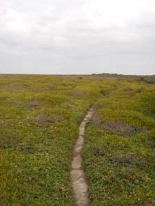 Track through low heath on Endeavour Moor |
|
|
 In the windswept mid-height heath |
 Emerging from a crawl through a paperbark thicket |
|
|
 The Bunyip Hole |
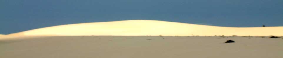
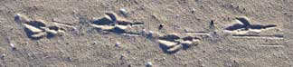
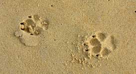
Climbing over the banks of the depression, we descended at last to the beach; across the rolling breakers to the south, the sun shone on the massive sand dunes, up to 40 m high, of Cape Howe. Climbing up into these dunes from the beach, Nello spotted the tracks of a dingo heading south. We followed them and they led us across the cape to where a small cairn of stones and slightly crooked concrete pillar marked the border between New South Wales and Victoria. Stepping onto Victorian sand for the first time, we reached another milestone in our walk. We had left Nadgee and were now in Croajingalong National Park.
|
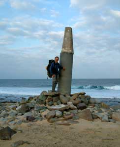 The New South Wales - Victoria border at Conference Point |
|
 Nello follows the dingo tracks across the dunes |
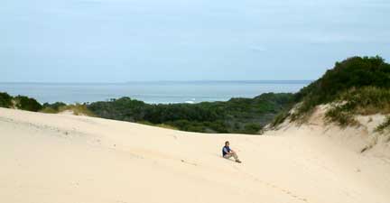
 40 m high sand dunes |
 Crossing Cape Howe |
|
||
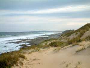 Dunes and rock platform near Conference Point |
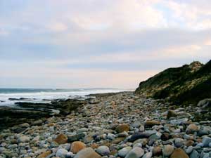 Stony foreshore south of Cape Howe |
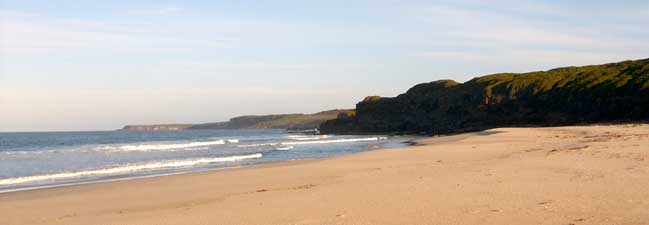
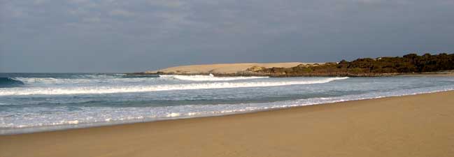
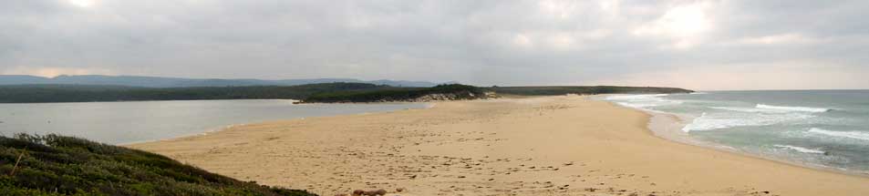
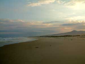 Start of the 20 km long Big Beach |
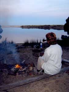
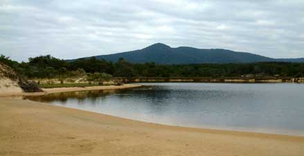
 Early evening at Lake Wau Wauka |
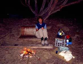 Our last night of the walk |
|
Lake Wau Wauka to Mallacoota |
|
|
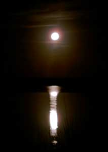
 Early morning at Lake Wau Wauka |
|
|
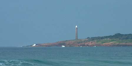 Gabo Island lighthouse a few kilometres offshore |
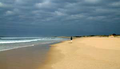 One last long meditational walk on an isolated beach |
|
||
|
 Temporary lake caused by the king tide overflowing the beach at Telegraph Point |
|
|
|
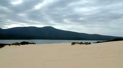
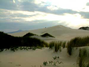
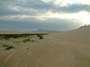
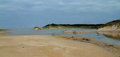
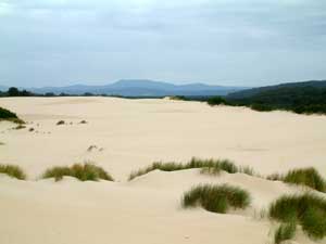 Sand dunes near Lake Barracoota |
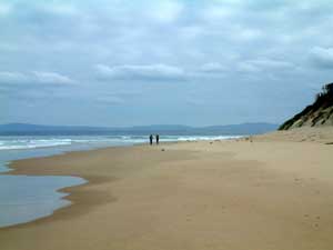
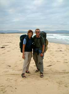
We returned to the beach from the high dunes of Barracoota and continued our long beach ramble southward. As we were drawing level with Tullaberga Island, a couple of kilometres offshore, two distant figures emerged from around the point and slowly headed toward us; Robyn and Salim had walked out from Mallacoota to join us for the final 10 km. We hadn't seen them for over three months so it was a joyful reunion with hugs and handshakes all round. |
 Robbo and Salim arrive from the south |
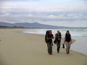
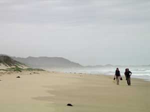 The walkers arrive from the north |
 ... and then there were four ... and then there were four |
 The last 10 km |
 At last ..... Mallacoota Inlet |
|
 650 km - the end of the walk |
 |