| Great Ocean Walk (Apollo Bay to Glenaire) |
|
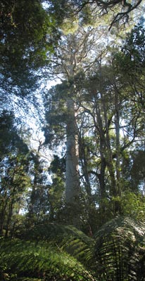 30m tall manna gum |
||
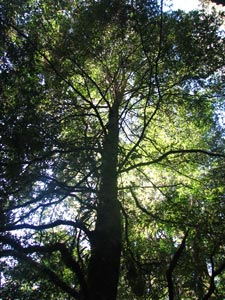 Sunlight filtering through the canopy of a beech |
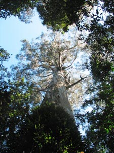 Looking up to the 40m crown of a mountain ash |
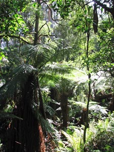
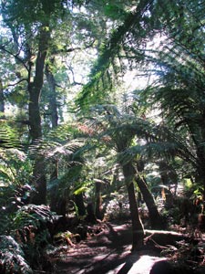 A grove of tree-ferns |
|
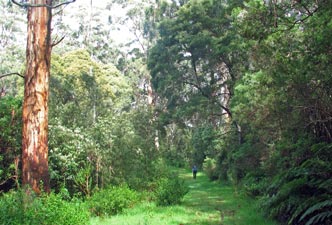
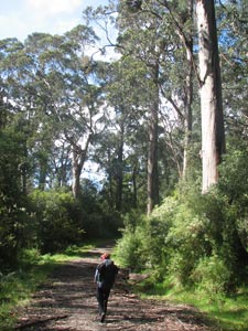
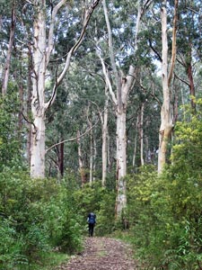
Our first stop was Mait's Rest - where you can take a short stroll into the lush forest inhabited by giant mountain ash and Nothofagus - the southern beech - so rare on the Australian mainland. Ever since walking in the beech forests of Patagonia, New Zealand and Tasmania, we had wanted to see the "local" of this iconic gondwana tree. |
|||
|
|
|||
 Hmm , think I'll wander over the road .. |
 ... and find a good tree ... |
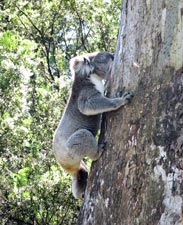 ... that I can climb up ... |
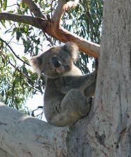 ... and pose ... |
|
|
||||
|
|
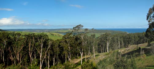
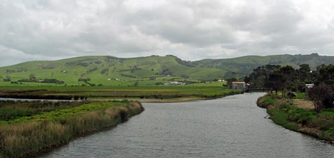 The verdant green of the Barham River flats and hills |
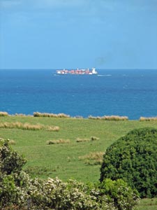
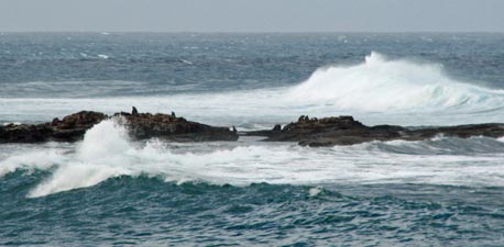 Seals basking on Marengo Reef as the big swells roll on by |
|
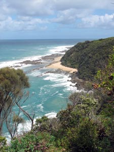
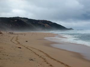
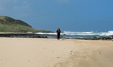
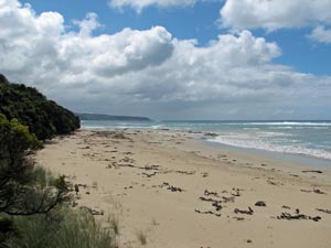
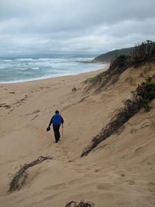
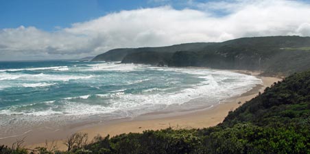
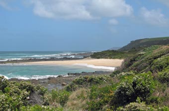 The beach near Storm Point |
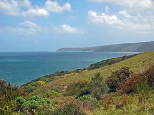 View westward across bracken covered Bald Hill |
|
 Crossing Three Creeks Beach |
|
||
|
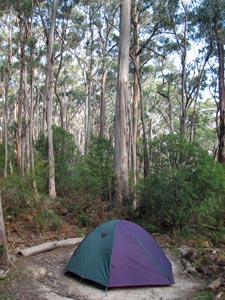
We were now close to our destination and one last steep and steady climb took us up the ridgeline, away from the coast and into the tall trees of the drier forest vegetation. Finally a flatter area to our left signalled our arrival at the Elliott Ridge Campsite - a chance to investigate the Great Ocean Walk campsite design for the first time. |
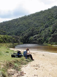
 Mouth of the Elliott River |
|
||
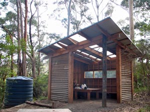 GOW campsite shelter |
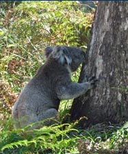
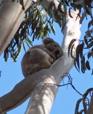 Local resident taking an afternoon nap |
|
|
|
|
 A stroll down the Parker Spur road |
 |
 |
 |
 Amongst the tall manna gums |
|
||||
 |
 |
 |
 |
 |
 |
|
|
 |
|||
 The beach at Blanket Bay |
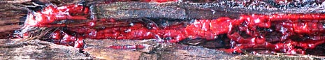
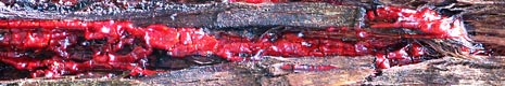
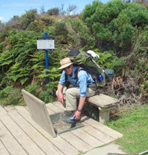 Phytophthora prevention in progress |
 |
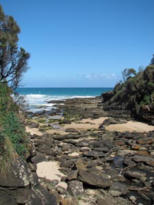
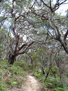 The gnarly coastal forest |
|
|||
|
|
|
||
 |
 |
 |
||
|
|||
 The path up from Point Franklin |
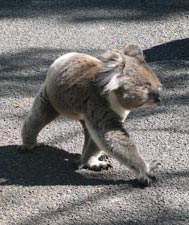
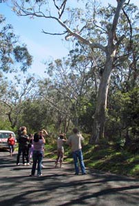
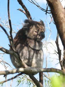 Yet another koala! |
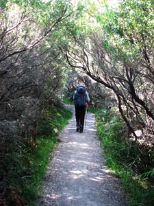 Beneath the tea-tree arbor |
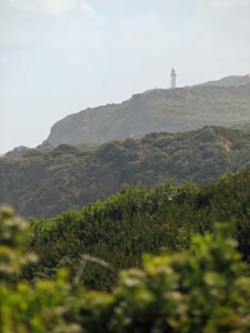
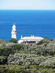 Cape Otway lighthouse |
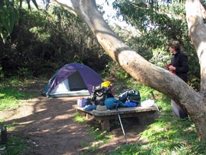 Campsite at Cape Otway |
|
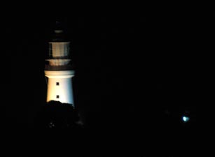 The lighthouse by night |
|
|
||||
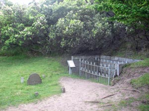 The loneliness of a lighthouse cemetery |
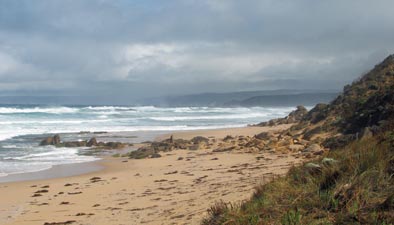
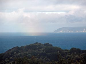 Rain shower approaching from the sea |
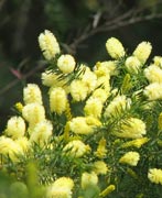
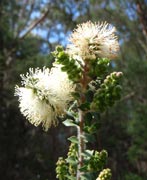
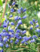
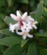
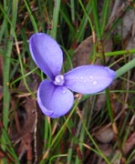
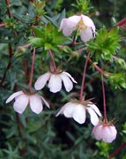
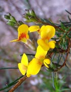
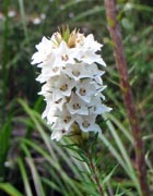
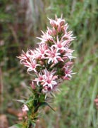
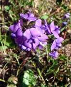
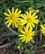
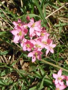
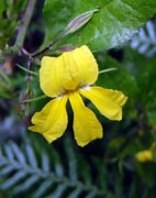
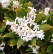
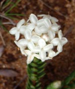
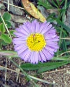
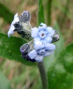
 The heath was a mass of tiny white flowers |
||
 |
 |
|
 |
 |
|
|
|
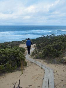 Boardwalk down through the dunes ... |
 ... leading out onto Station Beach |
|
|
||
|
||
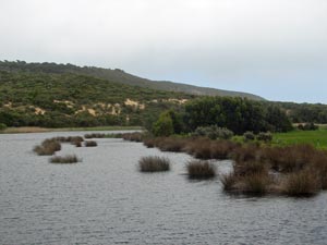
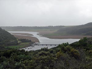 Overlooking Lake Craven and the Aire wetlands |
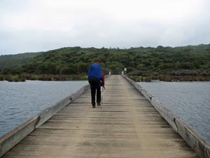 Crossing the Aire |
 Reedy bank of the Aire River |
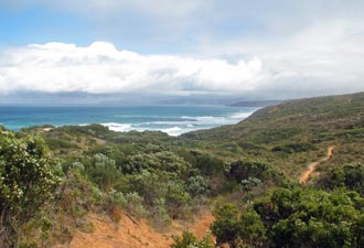
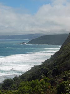
 View eastward back toward Cape Otway |
|
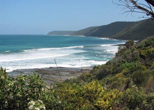
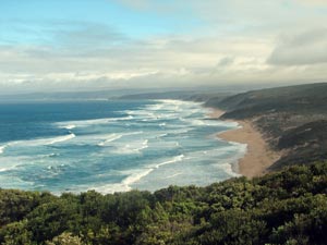
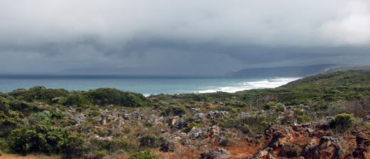
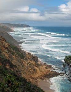
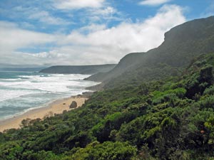
 View westward along the Otway coast |
|
 |
 |
||
|
|||
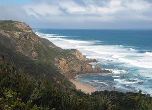 The spectacular ... |
 ... cliff-lined coastline .... |
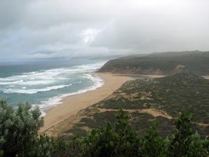
 .... east of Castle Cove |
 |
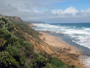
 Big seas at Castle Cove |
 |
||
|
 Panorama from the deck at Glenaire |
|
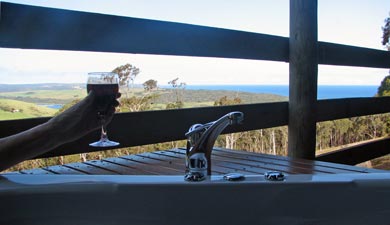 After 3 days walking it was nice to relax in the spa .... |
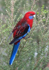 ... with rosellas for company ... |
 ... and black wallabies grazing on the slopes below |

 Apollo Bay to Elliot Ridge Campsite