| France encore |
|
|
|
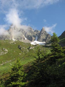
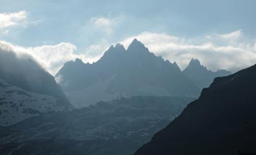 Morning haze on the peaks above Tré-le-Champ |
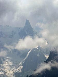
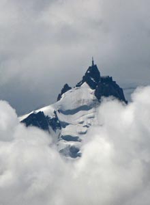
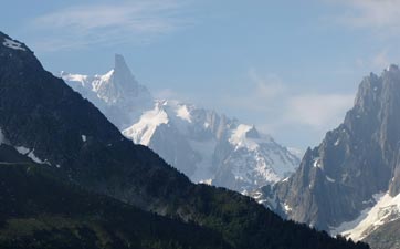 The sun breaks out on the Dent du Geant (4013m) |
|
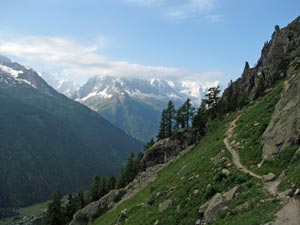
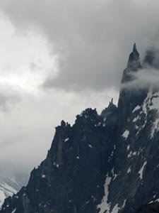
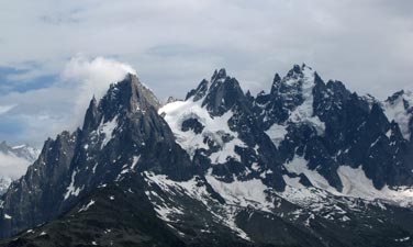
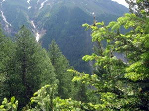
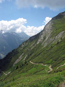
The footpath led us through scrubby woodland to the base of a long line of smooth rock face high above Argentière, which we followed to reach the spectacular rock needle known as the Aiguillette d'Argentière.
|
|
|
|||
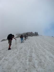
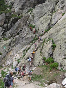 A group of French walkers start the rock climb |
 The fair Nello on a ladder |
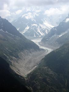
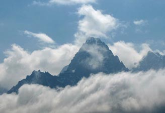
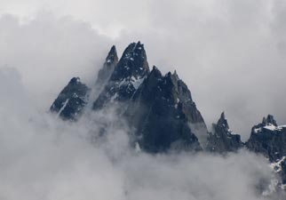
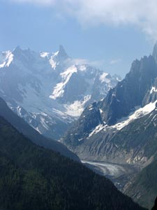 Dent du Geant above the Mer de Glace |
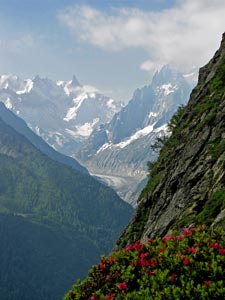 View from the rock face |
|
||
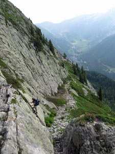
 The fair Nello climbing high above Chamonix |
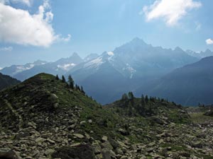
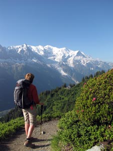
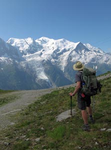
 Views from the Grand Balcon towards cloudy L'Aiguille du Tour... |
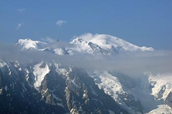 ... and the sunny snow-capped dome of Mont Blanc itself |
|
|
|
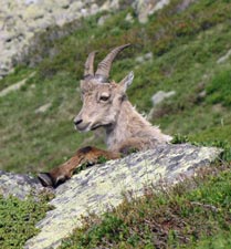
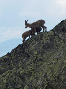
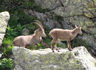 Ibex - père et fils |
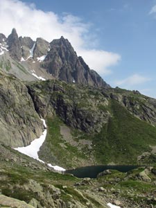
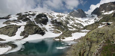
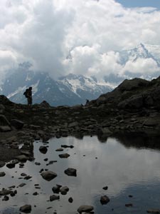
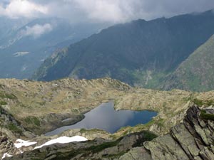
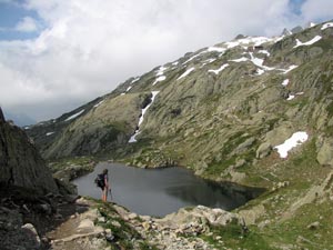 One of the Lacs du Chesery |
|
|
||
|
|
|
|
|
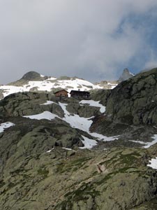
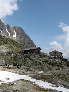
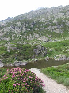
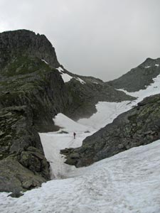
After an early lunch, we decided to leave Lac Blanc to the locals and head for quieter pastures, descending via another route to a small pondage to laze on the grass nearby and watch the interplay between cloud and peaks.
Unfortunately, the clouds began to take on a distinctly menacing grey tint and the patches of sunlight were becoming rarer. We quickly headed down a rocky goat-track towards the telepherique of La Flegère. It was the source of all the day-walkers, many of whom were still heading up to the lake as we were coming down - it must be one of the most popular day-trips in the area.
|
|
|
|
|
|
||
|
|
|
|
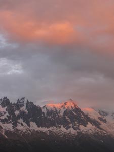
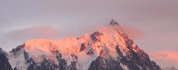
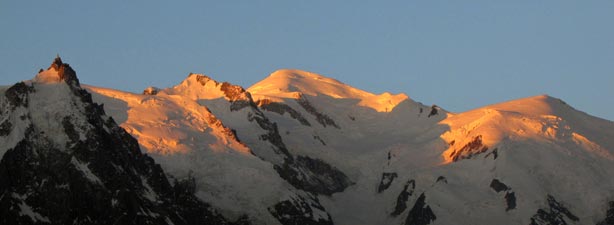 More a golden sunrise on Mont Blanc than the pink of last night's sunset, but soon changing to ... |
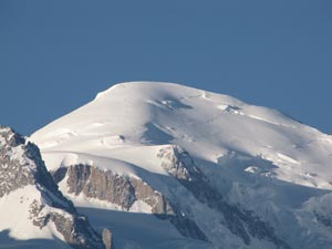 ... the brilliant white dome that gives the mountain its name |
|
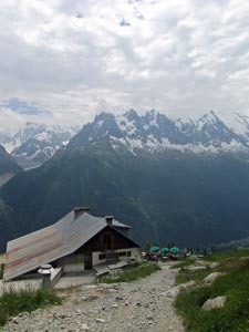
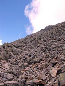
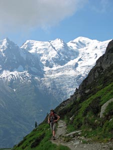
Leaving the refuge at La Flegère, we picked up the track of the Grand Balcon du Sud and followed it southwards, soon dropping down to avoid a series of rock cliffs, before crossing a broad basin split by a section of boulder scree. Across the valley the face of Mont Blanc and its glaciers grew gradually larger, as we began a long and winding traverse of the steep slopes through the coniferous forest and across the small grass prairie of La Charlanon. From here, the track began a steady climb around the now open slopes to the grassy platform of Planpraz, a favourite launching spot for parapentists. |
|
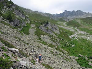
 Crossing beneath the Aiguille Pourrie |
 Traverse near Charlanon |
 On the Grand Balcon du Sud |
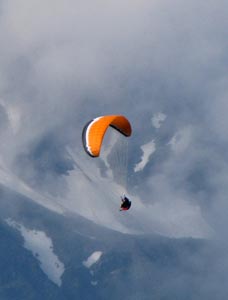 High above the valley the parapentes soar |
|
|
|
 Mountains are such fascinating things! |
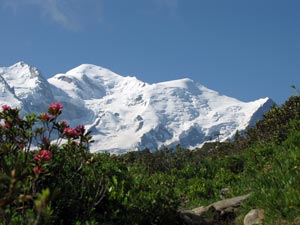
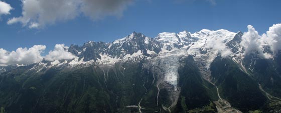
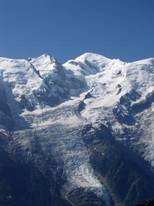 Mont Blanc and the Glacier des Bossons |
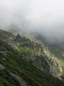 The cloud descends over Brevent |
 Why we walk! |
|
|
||
|
|
|
|
|
|
|
|
||
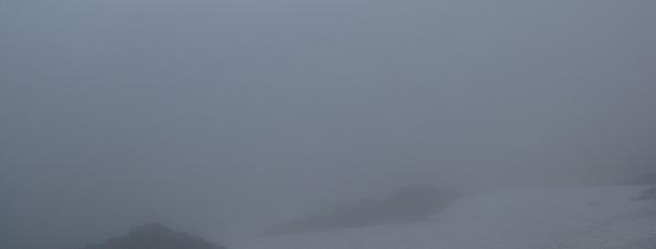
 Cloud streaming over the cliff-face from the valley below |
 Lac Brevent in its rocky setting |
|
|
||
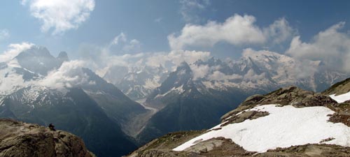
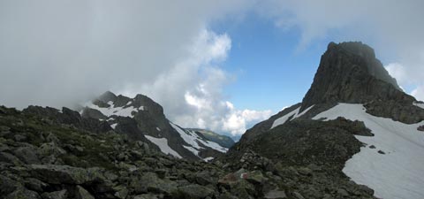
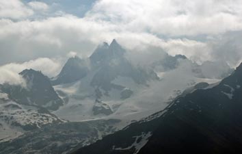
 The grand panorama of rocky needles, snow-capped domes and glistening glaciers
|
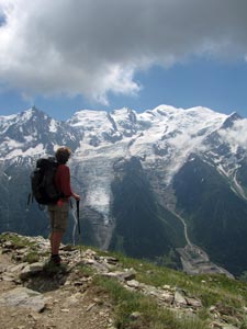 In awe of Mont Blanc |
 The 4122m Aiguille Verte poses for a photo |
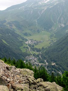
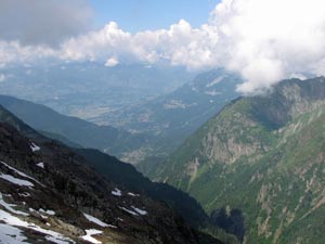
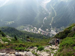
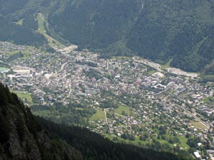 Looking down on Chamonix - over 1000m below |
 The descent from Bel-Lachat |
|
||
|
|
|
|
|
|
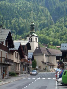 Les Houches - the end of the TMB! |
|
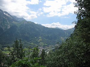 Getting close to the valley floor |
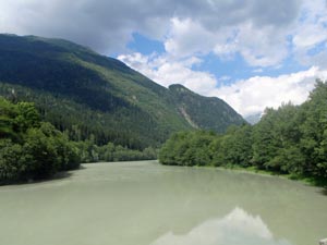 Pondage near Les Houches |
|
|