| Walk 21 - Tekapo/Mt John Walkway |
|
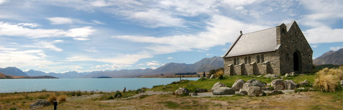 Church of the Good Shepherd 1935 - The chapel with a view |
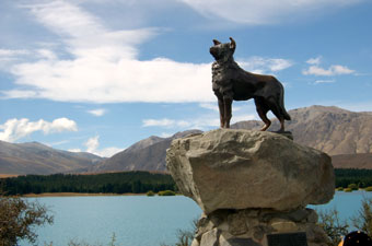 Monument to the Collie - hero of Mackenzie Country |
|
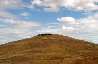 Mt John Observatory |
At the far end of the cove, the Mt John Walkway departed to climb up through a pine and larch forest and emerge onto tussock grassland near the top of the rounded dome of Mt John. Behind us lay the endless dry grassy plateau of the Mackenzie Country. From here, the track split to form a loop around the observatory; we took the western track and, cresting the side of the dome, were rewarded with an incredible panorama of the Southern Alps, rising dark and snow-clad above the yellow tussock hillsides, to cuminate in the point of 3151m Mt Sefton. |
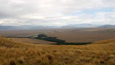 The grasslands of Mackenzie Country |
|
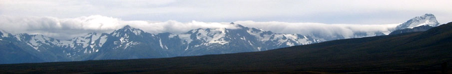 Cloud spilling over the Southern Alps - Mt Sefton (3151m on the right) |
|
Below, the darker waters of Lake Alexandrina beneath the tussock-covered terraces of ancient lake levels, were framed by the bare topped mountains of the Liebig Range and, behind them, barely visible stood the tip of 3754m Aoraki. As we walked around the dome, the revolving panorama opened out to superb views down the turquoise water of Lake Tekapo, framed by the Liebig and Two Thumbs ranges on each side, with a backdrop of snow-streaked 2800m Mts Sibbald and d'Archiac, 50km to the north in the main alps. |
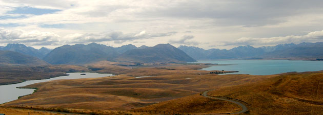 Lake Alexandrina and Lake Tekapo |
|
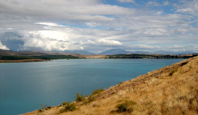
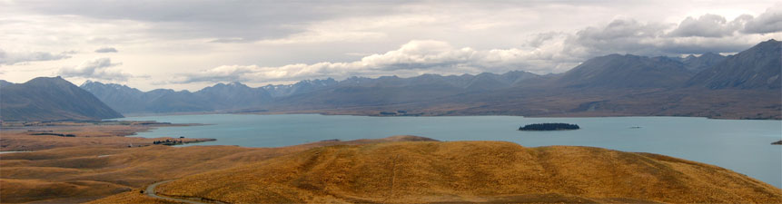 Lake Tekapo panorama under a passing band of cloud ... |
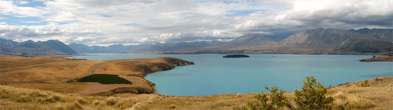 The sun returns to Lake Tekapo |
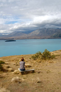
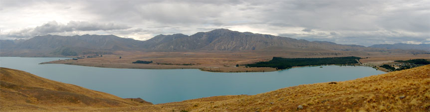 The southern end of Lake Tekapo |
|
|
 |