| Walk 9 - Heaphy Track 'Great Walk' |
|
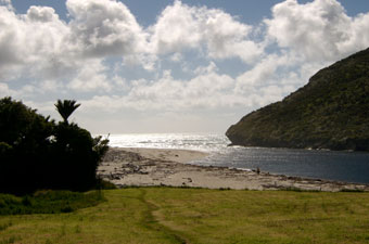
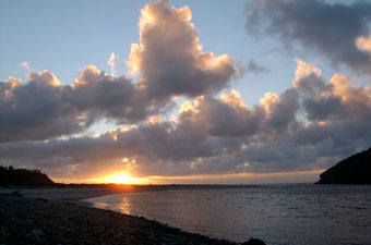
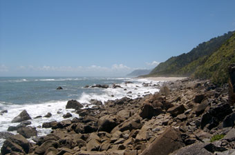
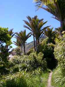
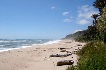
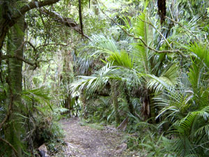
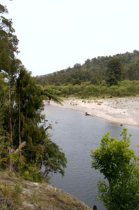
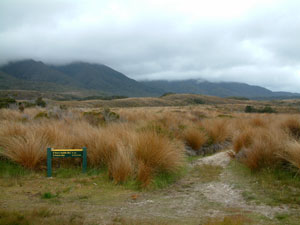
Day 1: Kohaihai to Heaphy Hut - the wild west coast After lunch overlooking the Kohaihai River mouth, we set off northward, crossing the river on the first of three swing bridges along this section of track and climbing up and over the Kohaihai Bluff in the shade of a quasi-tropical forest, resplendent with its nikau palms. At the bluff saddle, a short detour enabled us to look out along the length of the coastal walk ahead of us, the distant cliff-line hazy in the mist created by the incessant pounding of the Tasman Sea. |
 Looking north from Kohaihai Bluff |
|
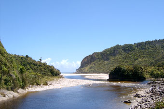 Kohaihai River mouth |
 West coast beach |
|
 View back along track to Scott's Beach and Kohaihai Bluff |
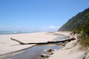
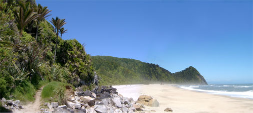
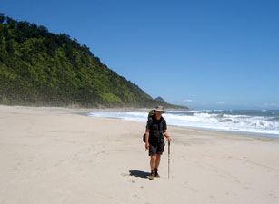
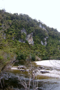
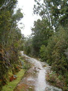
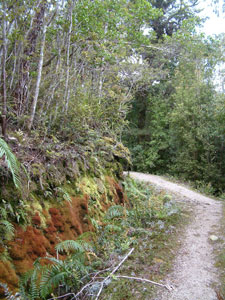
Soon we were walking next to the coast line, passing a succession of beaches - Scott's, Big Rock, Koura, Nettle, 20 Minute and finally Heaphy Beach - alternating with small headands or boulder clad shore, to the constant roar of the surf on our left. The track mainly followed a line just above the beaches, undulating slightly and passing variously under cool shady denser forest or more open palm-lined sections, opening out occasionally to wander through thickets of flowering flax or crossing sections of sandy beach and boulder beds on the shore. |
 Who said you can't get water from a stone? |
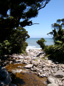
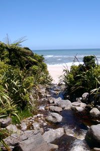 Small stream rushing to the sea |
 Boulders-strewn section of shore |
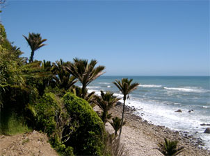 Coastal nikau palms |
|
||
 The mouth of Swan Burn |
 Boulder strewn Wekakura Creek |
 Small stream heading for the sea |
 Heading into a grove of nikau palms |
 On Koura Beach |
 Coastal forest near the Wekakura Bridge |
 20 Minute Beach (actually only 16) |
|
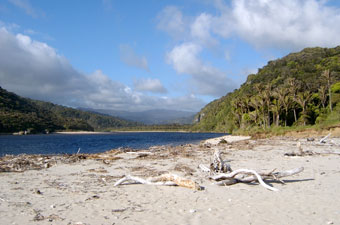
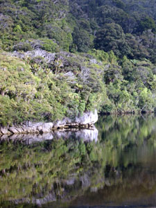
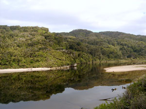
Eventually, we cut in behind the beach and angled across through one last dense patch of forest to emerge at a grassy clearing - to our left lay the edge of the Heaphy River, to our right the welcome sight of Heaphy Hut.
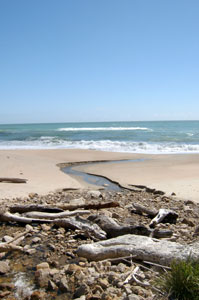
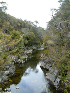
The Heaphy River mouth is a wild and turbulent place; the sea churns and foams as the incoming waves meet the outgoing freshwater flow, the broad sandy beach has become a graveyard of dead trees, with bleached-white wood from matchstick size to great tree-trunks scattered about in long tide-rows by the big seas. Water-smoothed granite stones, many with pink and orange flecks, line the shore where they had been tumbled down from the ranges beyond by the relentless river. This is a special place. |
|
|
Sand-fly control franchise at Heaphy Hut |
Day 2: Heaphy Hut to Mackay Hut - River stream and mountain climb
|
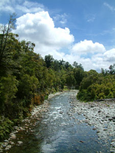
 The Heaphy in a reflective mood |
|
 Still morning on the river |
 Riparian forest |
|
|
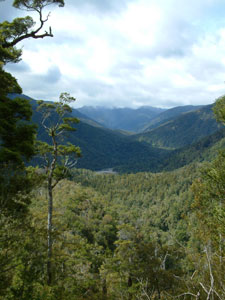
 Looking across to river flats |
 Limestone cliffs above the Heaphy |
 Nello next to the giant rata |
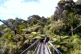
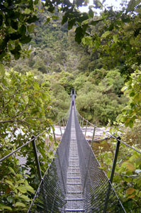 80m swingbridge across the Heaphy |
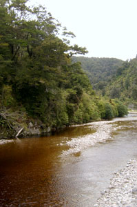 Tannin-stained Lewis River |
|
|
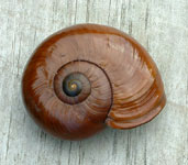 Powellephantia snail shell - several species of this giant predatory snail are endemic to this area |
 Outlook from the deck of Lewis Hut |
|
|
|||
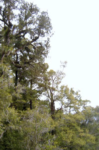 Big rimu towering above the canopy |
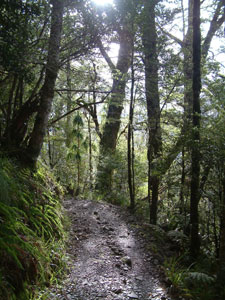
 Well-benched track climbing up the spur |
 Multicoloured display of mosses |
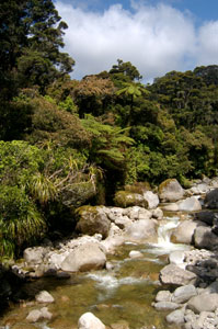
 One of several mossy streams |
|
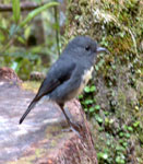
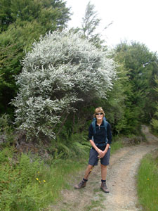
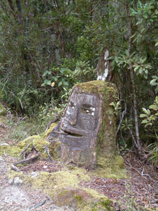 You meet some strange characters on the track |
 Mackay Hut on its scrubby perch |
 Did someone say there was a job going at Heaphy Hut? |
|
 |
Day 3: Mackay Hut to Perry Saddle Hut - Down to the downs and back up again |
||
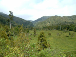
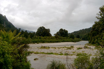
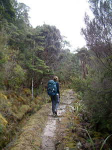
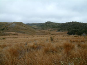
The track eastward undulated alternatively through a landscape of scrubby trees and grassy hollows, boardwalks protecting the more fragile bog communities.At times the stunted beeches and mountain pines looked like bonsai, and when growing alongside the moss-covered rocks of mountain streams gave the illusion of being in a Japanese garden. |
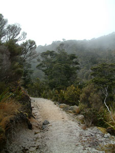
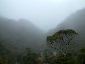 Foggy start to the day |
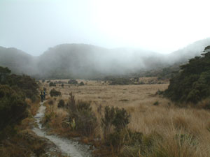 The mist lifts above Mackay Downs |
 The track passed by scrubby forest ... |
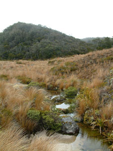 .. past creeks draining grassy bogs .. |
 .... around Japanese gardens ... |
 ...and along a pink granite road. |
|
 Blue Duck Creek |
|
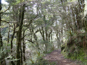 Taller beech forest on the descent from Mackay Downs |
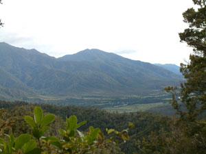
 Forest-grassland ecotone near the Saxon River |
|
|
||
 Track leading to Saxon Hut |
 View from the hut towards Gouland Downs |
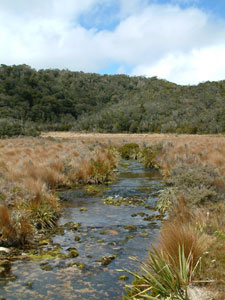
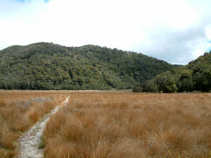
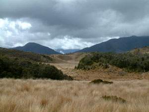
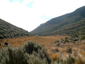
 The red tussock grasslands of Gouland Downs |
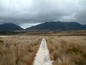 Road to Gouland |
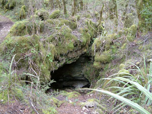 Cave entrance in limestone outcrop |
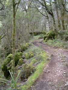 Moss-covered rocks and trees on a limestone outcrop just before Gouland Downs hut |
|
|
Sadly, our glimpse of the downs was all too short and we soon re-entered the bordering forest. Still, Mr Heaphy cut this track for the benefit of 19th century gold-miners hurrying westward to the fields in search of a fortune, not for 21st century trampers seeking serenity from a slow wander in this expansive landscape. Fortunately, we dropped back onto the Gouland Downs after another few kilometres, crossing a corner of them, a swing bridge and a ford, before climbing up on to a fascinating limestone outcrop, covered in moss-laden beech trees and riddled with caves and tunnels.
|
|||
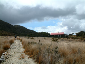
 The setting of Gouland Downs Hut |
|
|
 Gouland Downs Hut - the oldest on the track |
 A last look at the grassy downs landscape |
|
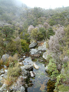
 Cave Brook mini-gorge |
|
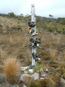 The boots of those who didn't make it |
||
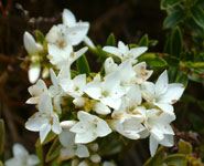 |
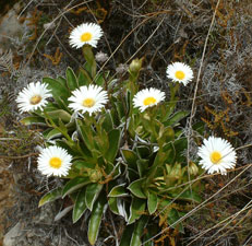
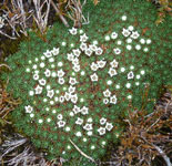
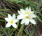
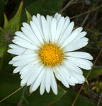
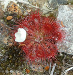 Some flowers of the downs |
 |
||
|
||
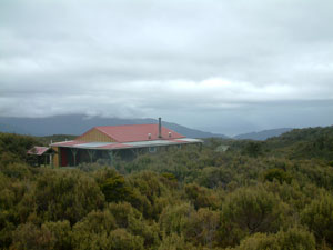
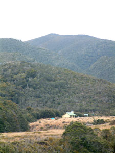
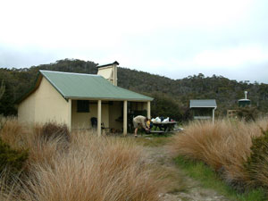
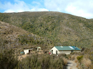 Perry Saddle Hut |
 Grassy hollow at Perry Saddle (view from our bunkroom) |
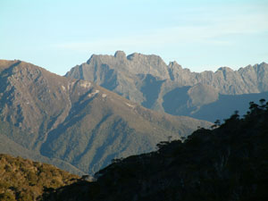 Some of the rugged ranges of Kahurangi National Park - east of Perry Saddle |
Day 4: Perry Saddle Hut to Brown Hut trackhead - Long descent home |
 The road home |
We left a bit after 7 am, the early drizzle that had set in overnight having fortunately cleared up, though a cold westerly wind and 5ºC temperature ensured that we were well rugged up. An early start was needed to meet up with our transport home at midday and, with this weather, we were glad to be heading out rather than in. |
 Looking toward the upper Aorere Valley |
 Views over the lower Aorere Valley |
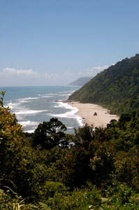
Crossing the high point of the walk at 915m soon after our departure, we commenced the long 16 km descent down a winding forest road. Occasionally, gaps in the forest provided views over the cloud-topped ranges opposite or the green Aotere valley below. The temperature rose gradually as we descended, the dominant forest trees changed from beech to rimu and we changed from goretex to shorts and shirts. |
 Near the end of another Great Walk |
I suspect that we were 'forested out" as our focus was concentrated on reaching the end of the track. A final steeper descent into open green pastures and one last bridge over the fast-flowing clear waters of Brown River brought us to Brown Hut and the end of our Heaphy Track crossing. Rob from DriveMeWild was already there, having just dropped off a new group of walkers, so we were soon heading off to Nelson on the bus, dreaming of hot showers and cold beers, and reflecting on a wonderful 4 days in the heart of the Kahurangi National Park. |
 Brown River |
|
Philosopher's Corner
|
 |